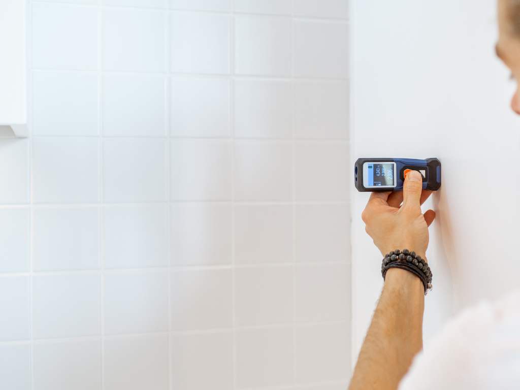
What is a Measured Building Survey?

Understanding the Basics
Importance of Measured Building Surveys
The significance of measured building surveys cannot be overstated. They provide a high level of accuracy, ensuring that the data collected reflects the true dimensions and conditions of the building. This precision is crucial for making informed decisions in construction and design, helping to create accurate plans and models. This, in turn, ensures that any modifications, extensions, or restorations are based on reliable data, reducing the risk of errors and costly rework.
many jurisdictions, accurate building surveys are required to comply with local building codes and regulations. These surveys help verify that the building meets all necessary standards, which is essential when seeking permits and approvals. For heritage buildings, measured surveys are invaluable for preserving historical records, ensuring that the building’s original features and dimensions are documented for future generations, supporting conservation efforts and enabling accurate restorations.
In the property industry, a measured building survey provides potential buyers with a clear understanding of the property’s layout and condition, facilitating smoother transactions and helping assess the property’s value.
Methods and Techniques
Measured building surveys can be conducted using traditional methods or modern technology. Traditional techniques often involve manual measurements with tools like tape measures, plumb bobs, and levels, along with detailed sketches and notes. While these methods can be time-consuming and less precise, they are still valuable for smaller or less complex projects.
On the other hand, modern technology offers more advanced methods, such as laser scanning, photogrammetry, total stations, and drones. Laser scanning, also known as LiDAR (Light Detection and Ranging), uses laser beams to capture millions of points on a building’s surface, creating highly accurate 3D models. Photogrammetry involves taking numerous photographs of a building from different angles and using software to create detailed 3D models. Total stations combine electronic distance measurement and angle measurement to capture precise data points, which are then used to create detailed plans and models. Drones equipped with cameras or laser scanners can quickly and safely gather data from various perspectives, particularly useful for capturing roof details and exterior features that are difficult to access.
The Survey Process
The process of conducting a measured building survey typically involves several key steps. Preparation is essential, defining the scope and objectives, identifying which areas of the building need to be measured, the level of detail required, and any specific challenges or constraints.
Data collection follows, where surveyors systematically measure the building’s dimensions and features using the chosen methods and tools. Careful planning is required to ensure all necessary data is captured accurately.
Once the data is collected, it needs to be processed and analysed. This may involve creating detailed drawings, 3D models, or digital representations of the building, using advanced software to compile and refine the data, ensuring accuracy and completeness.
The final step is to produce a comprehensive report that presents the survey findings. This report typically includes detailed plans, elevations, sections, and other relevant documentation, varying in format and content depending on the survey’s purpose and the client’s requirements.
Applications and Use Cases
Architecture and Design:
- Develop accurate plans and models for new constructions, renovations, and restorations.
- Ensure designs are feasible and comply with regulatory standards.
Construction:
- Plan and execute construction projects efficiently.
- Prevent costly errors and ensure that all components fit together correctly.
Heritage Conservation:
- Document and preserve historic buildings.
- Provide a detailed record of the building’s condition.
- Support conservation efforts and enable accurate restorations.
Real Estate:
- Provide potential buyers with a clear understanding of a property’s layout and dimensions.
- Facilitate smoother transactions.
- Help in assessing the property’s value.
Facilities Management:
- Maintain and manage buildings effectively.
- Support maintenance planning, space management, and asset tracking.
